

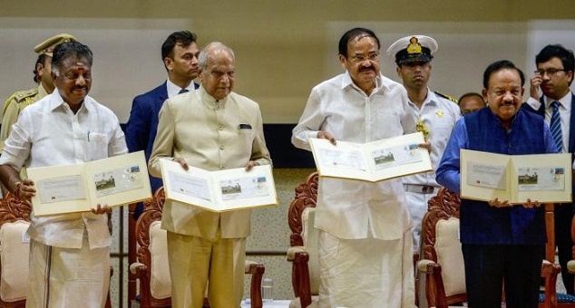
On November 3, 2019, Vice President M Venkaiah Naidu has released the 1st of its kind ‘Red Atlas Action Plan Map’ & ‘Coastal Flood Warning System App (CFLOWS-Chennai), to assist the Government of Tamil Nadu in effective control and reduction of floods, at the silver jubilee celebrations of the National Institute of Ocean Technology (NIOT) in Chennai, Tamil Nadu, which witnessed severe flood in 2015.
 Key Points:
i.The over 200-page atlas was prepared by the National Centre for Coastal Research (NCCR), India Meteorological Department (IMD), and National Centre for Medium Range Weather Forecasting (NCMRWF) in association with Tamil Nadu (TNSDMA) State Disaster Management Authority and Greater Chennai Corporation & CFLOWS app was developed by NIOT.
ii.The ‘Atlas’ is to effectively control and mitigate floods, preparedness, operations and management aspects. In this, keeping in mind all the historical data, it is also provide which areas of Chennai may need to be evacuated due to floods.
iii. NIOT was working on 6 priority pillars of blue economy such as Fisheries and Aquaculture,Renewable Ocean Energy, Seaports and Shipping; Offshore Hydrocarbons, Seabed Minerals, and Marine Biotechnology.
iv. NIOT ,formed in November, 1993 under the Ministry of Earth Sciences , Government of India (GoI) with the aim to develop and demonstrate technologies for utilising the ocean resources for ensuring energy security and water security and for enabling coastal protection and mining of resources from the ocean bed.


