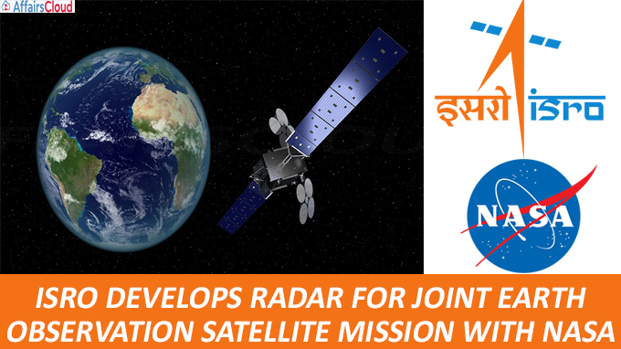
 Indian Space Research Organisation (ISRO) has completed the development of an Synthetic Aperture Radar (SAR) called ‘NISAR’ (NASA-ISRO SAR) which is capable of producing high-resolution images. It will be used for the Joint Earth Observation Satellite Mission of ISRO & NASA (National Aeronautics & Space Administration), USA.
- The Radar penetrates clouds & darkness enabling NISAR to produce high quality images round the clock in any weather.
- NISAR is the 1st satellite mission to use 2 different radar frequencies (L-band & S-band) to measure changes in our planet’s surface.
- The agreement for developing ‘NISAR’ was signed between NASA & ISRO in 2014.
NISAR – Earth Observation Mission
The Earth Observation Mission is targeted to be launched in early 2022 from ISRO’s Sriharikota spaceport, Andhra Pradesh.
Purpose of the Mission
To measure Earth’s changing ecosystems, dynamic surfaces & ice masses, providing information about biomass, natural hazards, sea level rise & groundwater.
Mission
i.It will help in better understanding of causes & consequences of land surface changes, and to increase our ability for coping with global change.
ii.NISAR will observe Earth’s land and ice-covered surfaces globally with 12-day regularity on ascending and descending passes, sampling Earth on average every six days for a baseline three-year mission.
iii.NISAR uses a sophisticated information-processing technique known as SAR to produce extremely high-resolution images. Radar penetrates clouds and darkness, enabling NISAR to collect data day and night in any weather.
iv.The instrument’s imaging swath the width of the strip of data collected along the length of the orbit track is greater than 150 miles (240km), which allows it to image the entire Earth in 12 days.
v.As the mission continues for years, the data will allow for better understanding of the causes and consequences of land surface changes, increasing our ability to manage resources and prepare for and cope with global change.
vi.NASA requires a minimum of three years of global science operations with the L-band radar, and ISRO requires five years of operations with the S-band radar over specified target areas in India and the Southern Ocean.
Recent Developments
- NASA is providing the mission’s L-band SAR while ISRO provides the Spacecraft bus, the S-band radar
- On March 4, 2021, The S-band SAR payload of NISAR satellite mission was shipped from ISRO’s Space Application Centre (SAC), Ahmedabad to NASA’s Jet Propulsion Laboratory (JPL) at Pasadena, USA for integration with L-band SAR payload developed by NASA.
Recent Related News:
i.NASA has chosen ‘India Sat’, an indigenous experimental satellite developed by 3 students from Tamil Nadu for launch in suborbital space in June, next on NASA’s sounding rocket 7.
About National Aeronautics & Space Administration (NASA):
Acting Administrator – Steve Jurczyk
Headquarters – Washington DC., USA


