


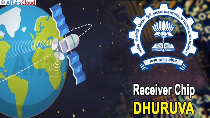

Keeping these requirements in mind, researchers at IIT (Indian Institute of Technology) Bombay led by Rajesh Zele from the Department of Electrical Engineering have created a chip named ‘Dhruva’ that can be mounted in smartphones and navigation devices to find places and routes within the country.
Chip ‘Dhruva’ :
- To locate the accurate position of the device, Dhruva sends and receives radio signals to India’s NAVIC (NAVigation with Indian Constellation) group of navigation satellites (i.e 36,000 km above the earth’s surface) as well as US Global Positioning System(GPS)-based satellites to accurately determine these under all weather conditions.
- Developed in just 18 months, the chip can receive in multiple frequency bands viz. 1.176 GHz (NAVIC L5 band), 1.227 GHz (GPS L2 band), 1.575 GHz (GPS L1 band), and 2.492 GHz (NAVIC S band) and handle weak signals. In addition, it can be converted into digital bits and processed by any standard digital signal processor (DSP) to accurately determine any location.
- The Dhruva project was funded by the Ministry of Electronics and Information Technology (MeitY), with SAMEER (Society for Applied Microwave Electronics Engineering and Research) & Space Applications Centre of the Indian Space Research Organisation (ISRO).
Worldwide navigation: Different countries have their own navigation satellite systems, including the Global Positioning System (GPS) of the US, the Russian Federation Global Navigation Satellite System (GLONASS), Galileo in Europe, Baidu and China Quasi-Zenith Satellite System (QZSS). In such a situation, Dhruva can be an effective navigation option in India.
Background:
– India has built its navigation system, the Indian Regional Navigation Satellite System (IRNSS) or NAVIC, which is based on foreign technology.
– During the Kargil War (1999), Indian soldiers were not able to see the required positions using foreign GPS satellites. IRNSS or Navic satellite was sent by ISRO to Orbit many years ago.
About IIT Bombay:
Location– Mumbai, Maharashtra
Director– Subhasis Chaudhuri


