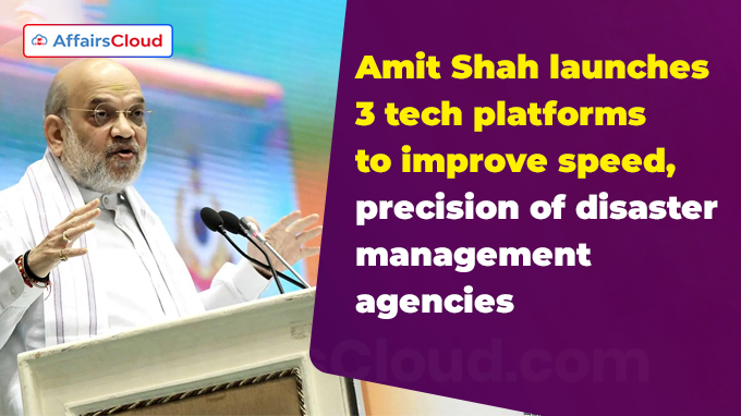
 In June 2025, Union Minister Amit Shah, Ministry of Home Affairs (MHA), launched the Integrated Control Room for Emergency Response (ICR-ER), National Database for Emergency Management Lite 2.0 (NDEM Lite 2.0) and Flood Hazard Zonation Atlas of Assam to enhance real-time response, coordination, and flood mitigation efforts across India.
- The platforms were launched at the two-day Annual Conference of Relief Commissioners, Secretaries of Disaster Management, and State Disaster Response Forces (SDRFs) held in Guwahati, Assam.
Key Platforms Launched:
About Integrated Control Room for Emergency Response (ICR-ER):
i.The ICR-ER will prompt real-time response to disasters across India by streamlining satellite data to rescue agencies. It enables instantaneous situational awareness and coordinated response.
ii.It is the national-level command centre under the MHA, designed to monitor and coordinate disaster response.
iii.It was established in partnership with Bengaluru (Karnataka) based Indian Space Research Organization (ISRO), following a Memorandum of Understanding (MoU), signed in September 2018.
- Under the MoU, ISRO provides satellite communications and data integration expertise, MHA overseeing the execution.
About National Database for Emergency Management Lite 2.0 (NDEM Lite 2.0):
i.The NDEM Lite 2.0 is a centralized digital system that facilitates coordination among disaster response forces, especially in remote areas.
- It is a unified platform for the National Disaster Response Force (NDRF), SDRF, and other ground units to share data and streamline agile, real-time rescue operations.
ii.NDEM is the national geospatial disaster-management portal of India, operationalized in 2013 by ISRO and Hyderabad (Telangana) based National Remote Sensing Centre (NRSC).
iii.It offers multi-scale Geographic Information System (GIS) data, decision-support tools, and real-time situational awareness.
About Flood Hazard Zonation Atlas of Assam:
i.The atlas of Assam will guide flood control authorities to realise the goal of flood mitigation by providing real-time data related to floods, their impact, and water levels in rivers.
- This marks the 3rd edition of the Flood Hazard Zonation Atlas, developed by NRSC/ISRO at the request of the Assam State Disaster Management Authority (ASDMA), using satellite data spanning from 1998 to 2023.
ii.It is a statewide atlas, which utilizes satellite imagery to map river levels, flood dynamics, and is ideal for early warnings, evacuation planning, and mitigation strategies.
iii.The atlas maps flood-prone areas in Assam by analyzing flood data from 1998 to 2007, extended to 2015.
- According to the data, 28.5% of Assam is affected by floods.
iv.It categorizes flood risk at district, block, and village levels and visualizes areas most frequently affected.
About Ministry of Home Affairs (MHA):
Union Minister – Amit Shah (Constituency – Gandhinagar, Gujarat)
Minister of State (MoS)- Nityanand Rai (Constituency – Ujiarpur, Bihar); Bandi Sanjay Kumar(Constituency – Karimnagar, Telangana)
About Assam:
Chief Minister (CM) – Himanta Biswa Sarma
Governor –Lakshman Prasad Acharya
Capital – Dispur, Guwahati
National Park (NP) – Nameri NP, Raimona NP


