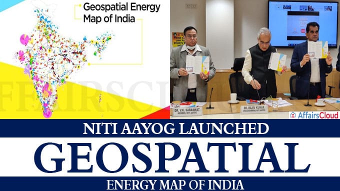
NITI Aayog along with ISRO has launched the Geospatial Energy Map of India which will provide a holistic picture of all energy resources of the country. This map identifies and locates all primary and secondary sources of energy and their transportation.
- The map is designed with the help of five other ministries such as Ministry of New and Renewable energy, Ministry of Coal, Ministry of Petroleum and Natural gas, Ministry of Power, Department of Atomic energy.
Geospatial Energy Map of India was launched by: –
- Rajiv Kumar (Vice Chairman, NITI Aayog), Dr. V K Saraswat (Member, NITI Aayog), and Shri Amitabh Kant (CEO, NITI Aayog).
- K Sivan, Chairman ISRO & Secretary Department of Space attended the launch event.
Key features of Geospatial energy map:
i.Geographic Information System (GIS) Energy Map of India will help in providing a holistic picture of all energy resources of the country with a visualization of energy installations including power plants, oil and gas wells, petroleum refineries, coal fields and coal blocks, district-wise data on renewable energy power plants, and so on.
ii.This brings together the power of a geographic information system in 27 thematic layers to bring together all of them in a relatable fashion.
iii.GIS is many folds such as
- Identify and locate all primary and secondary sources of energy and their transportation/transmission networks in the country.
- Planning and making investment decisions.
- Policy and planning
- Education
- It can also aid in disaster management using available energy assets.
vi.It is an open-source software that is interactive and user friendly which leverages the latest advancements in web-GIS technology.
v.GIS-based mapping of energy assets will be advantageous to all concerned stakeholders as energy markets have immense potential to bring in efficiency gains.
About Geographical Information System (GIS):
i.A Geographic Information System (GIS) is a computer system for capturing, storing, checking, and displaying data related to positions on Earth’s surface.
ii.GIS technology is a crucial part of spatial data infrastructure.
iii. GIS can use any information that includes location. The location can be expressed in many different ways, such as latitude and longitude, address, or ZIP code. =
About NITI Aayog :
The NITI Aayog (National Institution for Transforming India), is a think tank of the Government of India established as a replacement for the Planning Commission to provide with relevant strategic, directional and technical advice across the spectrum of key elements of development process.NITI Aayog will monitor and evaluate the implementation of programmes.
- Established in – 2015
- Chairman – Narendra Modi (Prime minister of India is the chairperson of NITI Aayog).


